radarfilm.studio
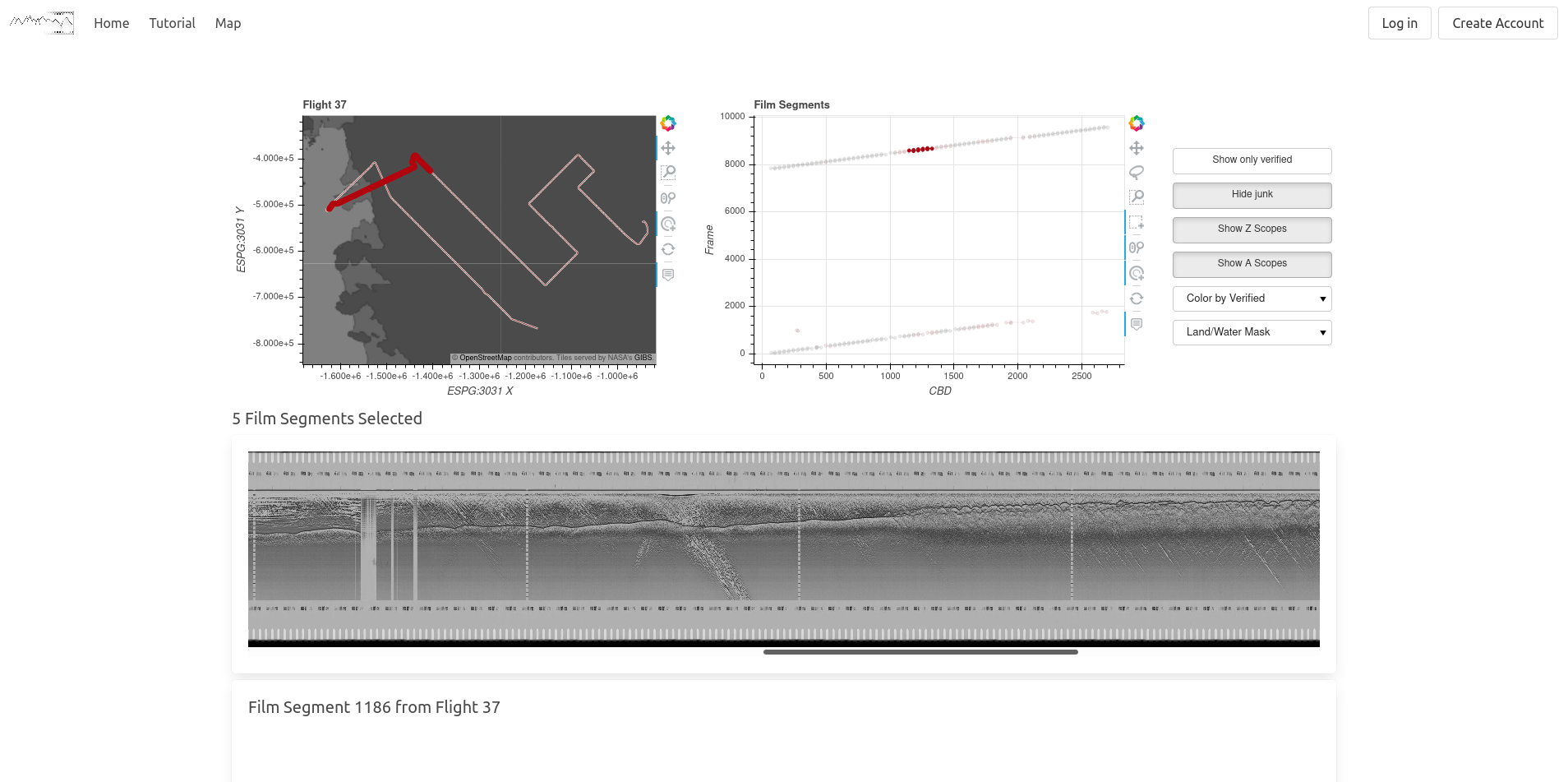
Visualization tool for archival data from the first large-scale ice-penetrating radar survey of Antarctica
Stanford Radio Glaciology has led the effort to digitize almost 1000 rolls of optical film containing data from an airborne geophysical survey of Antarctica conducted in the late 1960s and 1970s. This survey was the first of its kind and provides a snapshot of subglacial conditions and ice thicknesses that predates other measurements by, in some cases, decades.
In order to make this data accessible to others, I developed an open-source website to help visualize and explain the vast array of data.
